| Image may be NSFW. Clik here to view.  |
| Along the forestry road section! |
In doing the FatDog trail race for the last two years, I have never had the chance to see Bonnevier Trail in the daylight. All I’ve ever seen is a bright patch of trail with a pair of feet plodding away up the hill. This weekend I finally got my chance to see just what I’d been up against.
| Image may be NSFW. Clik here to view.  |
| The turn onto Bonnevier Trail |
On Saturday, Jenna’s mom dropped us off at the bottom of Bonnevier Trail just east of Manning Park, and planned to meet us up on Heather Trail at the top with her grandma.
| Image may be NSFW. Clik here to view. 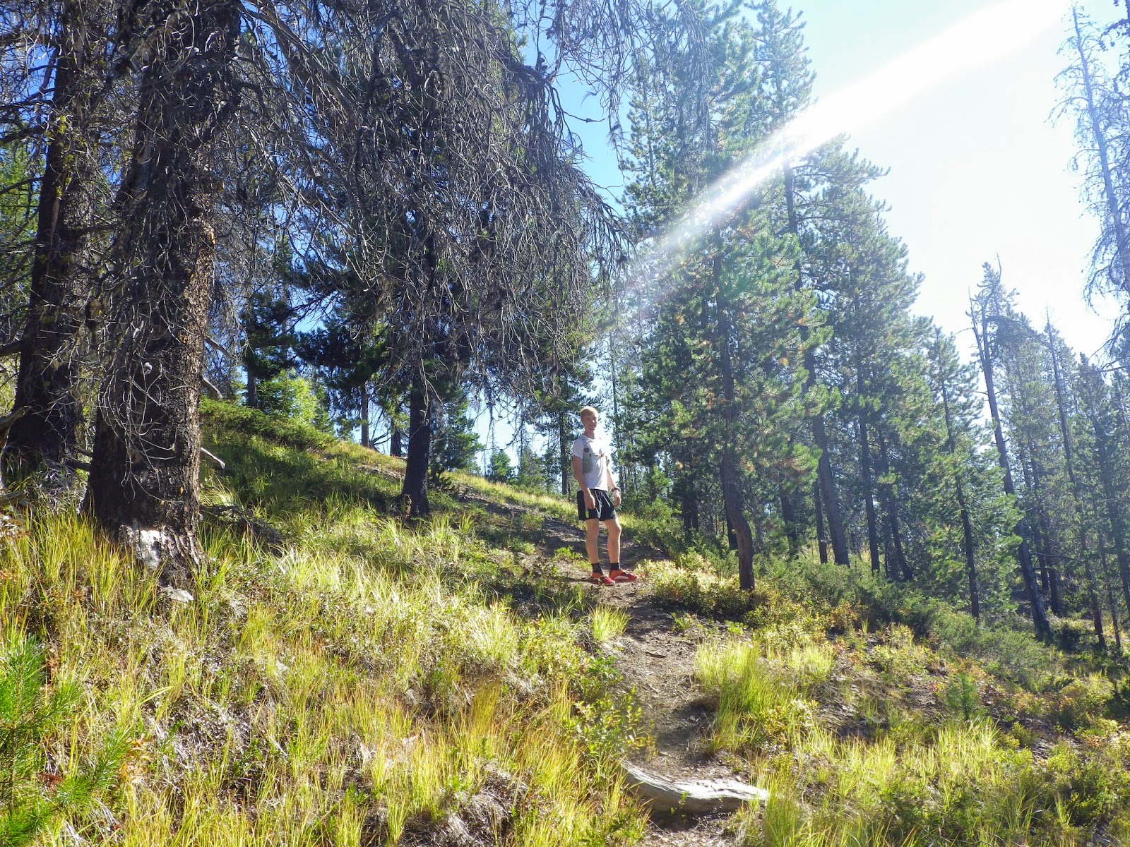 |
| Beautiful single track near the top of the false peak (Kandahar Peak) |
After the initial forestry road section, we turned onto Bonnevier Trail proper, and, surprise! It’s beautiful! The trail is a nice single-track, that gently winds upward, with a few downhill and flat sections. Having climbed through super dry areas, lush forests and swathes of deadfall, it seems like you’ve reached the top of the mountain. Of course, this is part of FatDog and that would be too easy! So next comes a significant downhill section that drops about 200m over a couple kilometers. The good part is that it’s totally runnable! Too bad I’ve always been too tired to run it.
| Image may be NSFW. Clik here to view. 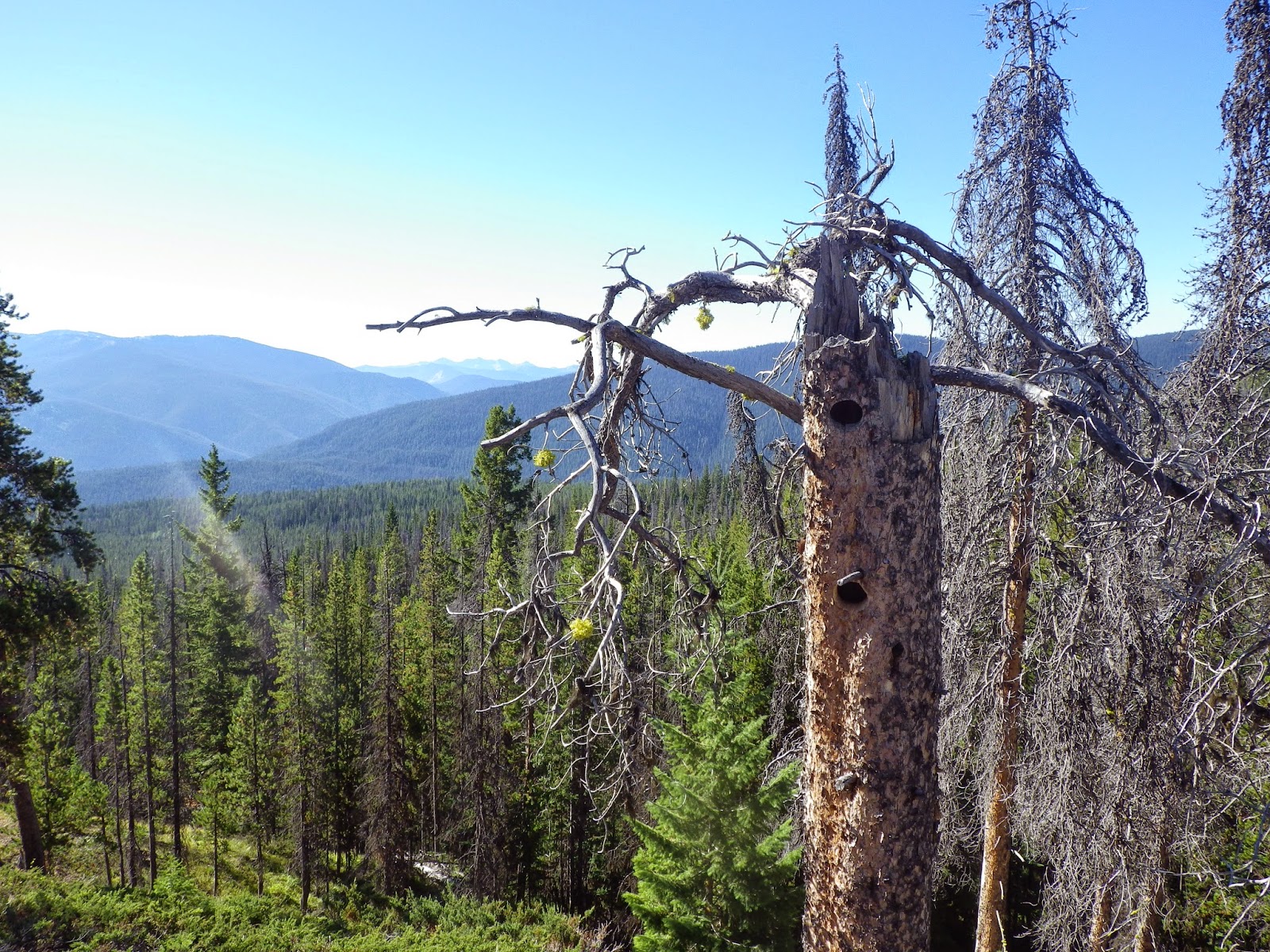 |
| Gorgeous views of the surrounding valleys and mountains! |
| Image may be NSFW. Clik here to view. 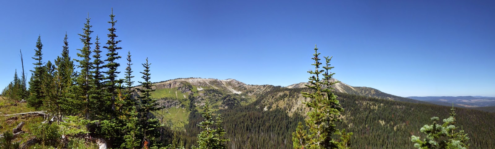 |
| View of Big Buck Mountain and the First Brother in the distance |
| Image may be NSFW. Clik here to view. 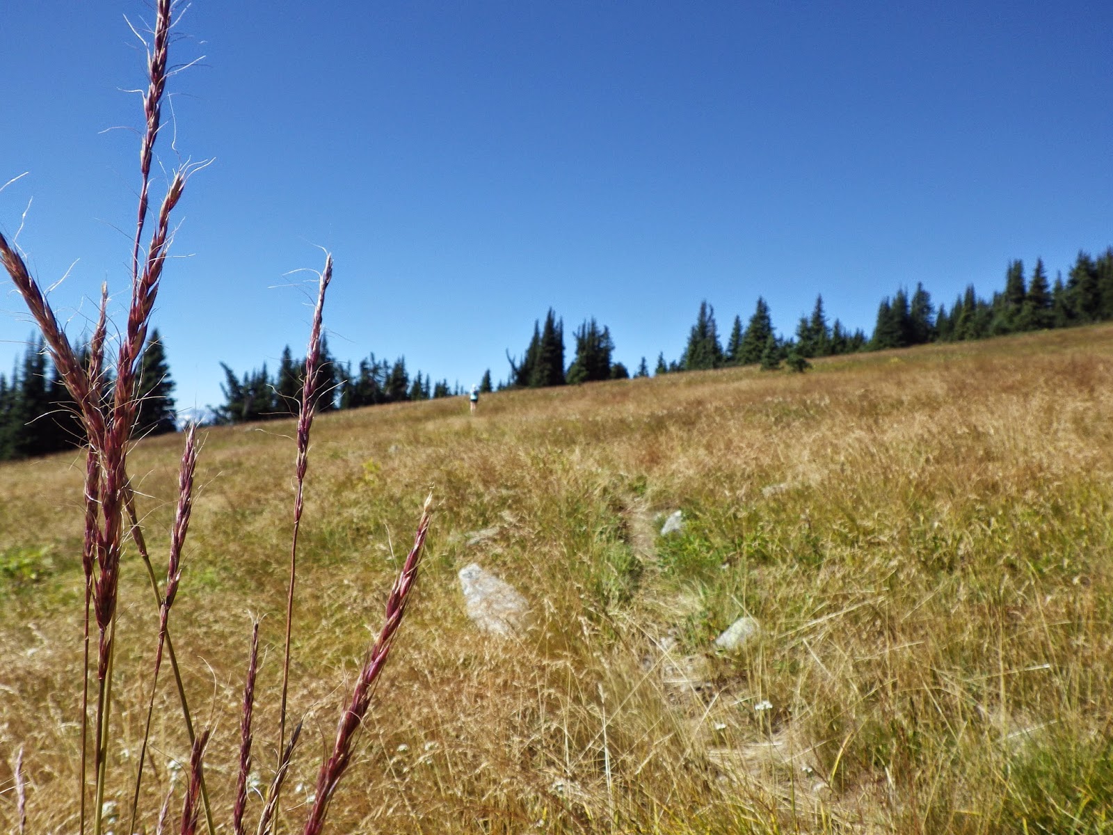 |
| Running through the meadows |
| Image may be NSFW. Clik here to view.  |
| Hiking out to Blackwall Peak with Jenna's family |
